
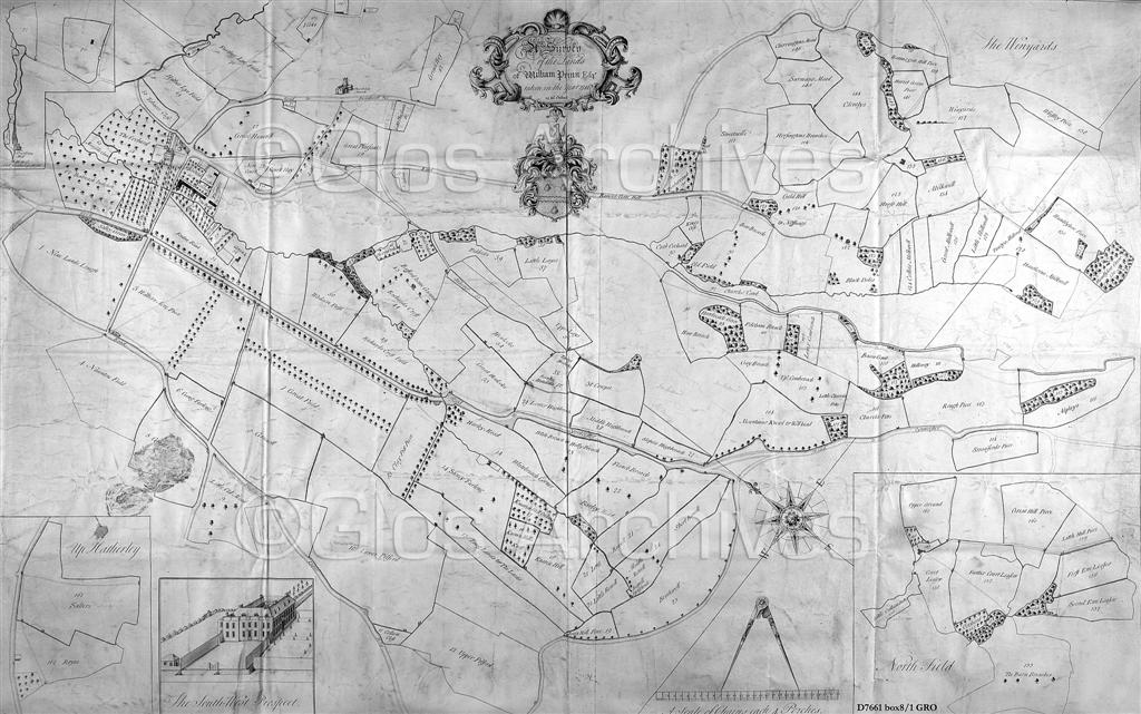
 © Gloucestershire ArchivesThe 1746 Charlton Park Estate Map prepared for William Prinn by John Clifford. Sandy Lane (Old London Road) is above the 'Compass Star' - crossing the park to the upper left edge of the map.Cheltenham is to the left of this map.
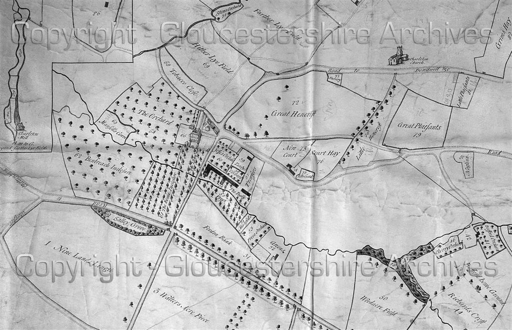 © Gloucestershire ArchivesThis closer view of the 1746 Estate Map better shows the tree-lined Old London Road/Sandy Road crossing the park from the lower right edge, parallel with the Lilley Brook towards Cheltenham, before its closure and diversion in the 1780s.
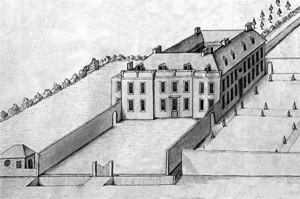 © Gloucestershire ArchivesForden House (Charlton Park's Mansion) from the border picture on William Prinn's 1746 Estate Map
Page 8 of 61