
Putting this place on the Map
At the beginning of the 21st century 'Google Earth' was launched and continues to evolve in ever-more impressive ways, providing us with astonishing Earth-shrinking views barely imaginable a decade before - unless perhaps you worked for a certain 'hush-hush' Government establishment here in Cheltenham. Some 2000 years ago the Roman Military were almost certainly the first Government department to map their newly won province of 'Britannia', describing the island as 'triangular, with one side facing Gaul', but, as far as I am aware, no Roman maps survive to use here, at the beginning of this local-history project. To put Cheltenham, Charlton Kings and Charlton Park 'on the map' today, we have to start with some slightly newer maps.
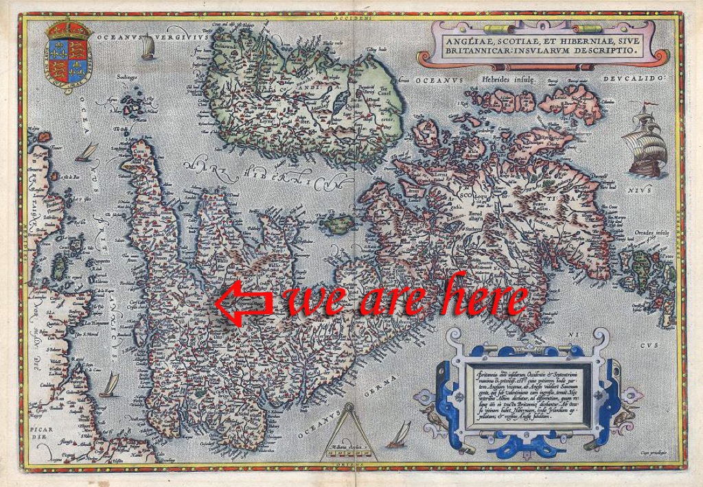 © Steve BartrickOr are we? Abraham Ortelius's impressive but famously disorientating map of Britannicar c1584Old 'Gaul' is therefore 90 degrees adrift of the more usual orientation of modern maps.
 © Steve BartrickWhen Ortelius published 'Britannicar' in 1584, Cheltenham did not appear on it.
Intriguingly, places such as Cirencester and Gloucester were also omitted.
[Discover later how Cheltenham Spa's signature landmark was deliberately erased from the town's map]
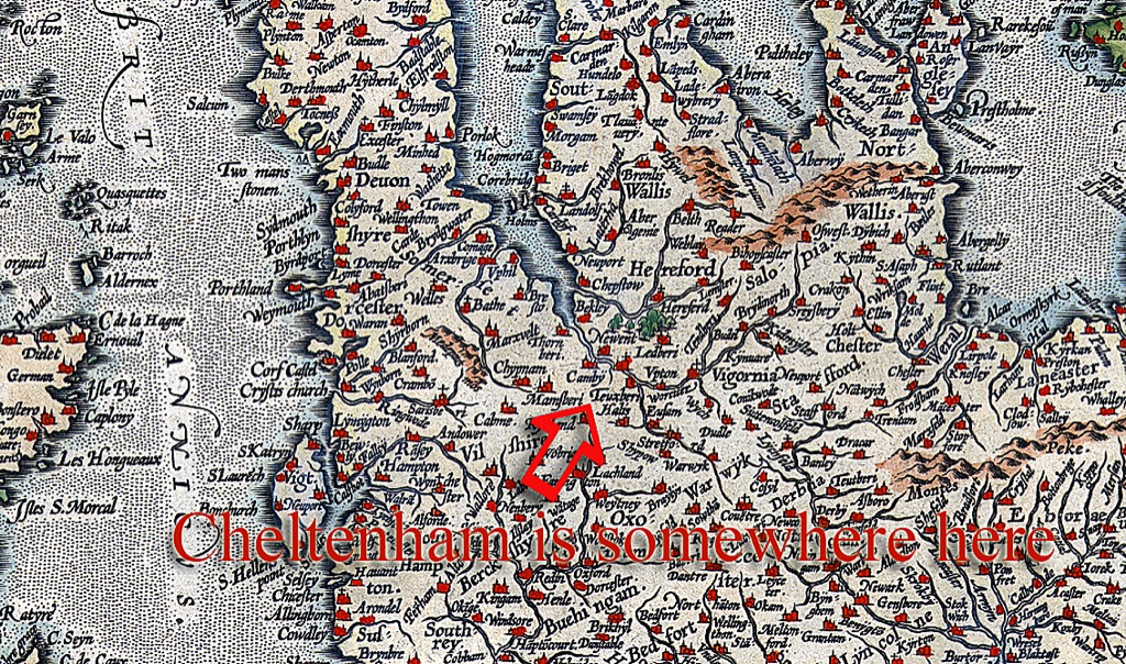
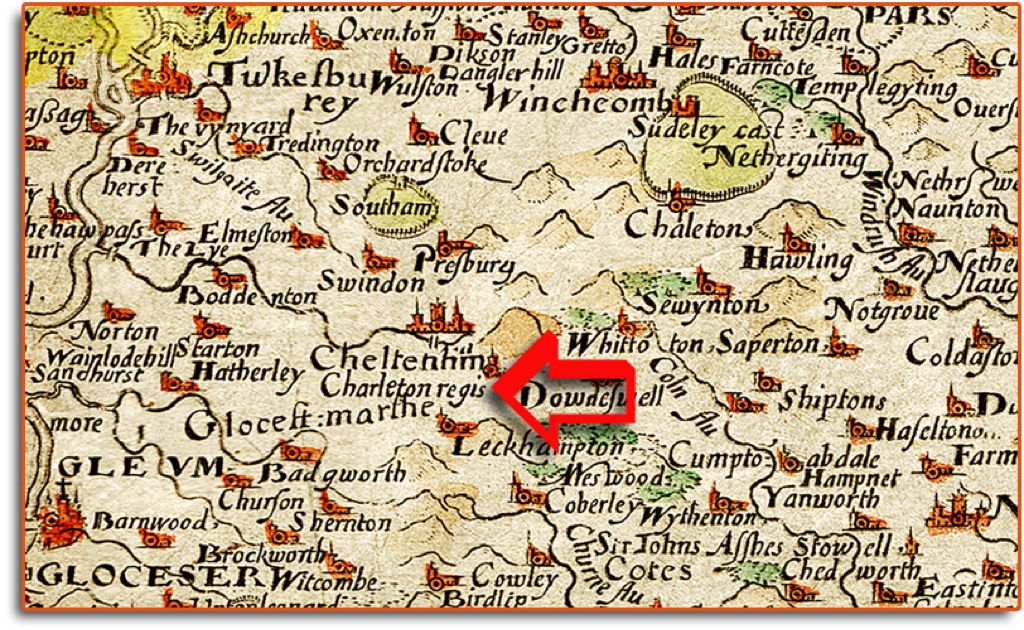 © David Hanks (Cotswold Images)To find our town on the early maps we can look at Christopher Saxton's Gloucestershire map c1570 (part of)