
 © J Rawes
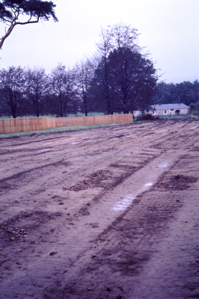
Stage One - spring 1976, Bovis prepare the ground for what became King Arthur Close, including the new border fence against Reeves Field. The ownership and maintenance of the fence later became subject of legal dispute and correspondence. The old Cox's Meadow farm building/stable block seen in the background appears on some of the old maps at the beginning of this article, and possibly in one of Dorothy Vassar-Smith's 1920s photographs. The building was demolished a few years later, well before the Environment Agency moved in to commence their flood alleviation scheme in 2005/6.
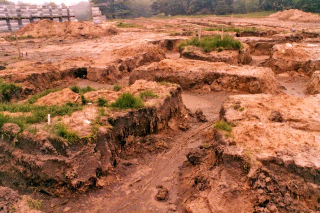 © J Rawes1976 - Bovis Homes' sink dwelling-house footings through
Charlton Park's substantial sand deposits.
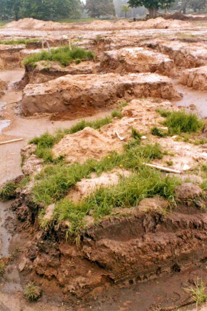 © J RawesThese two 1976 photographs illustrate why the local stretch of an ancient 'London Road' through Charlton Park was called 'Sandy Road' - before Doddington Hunt had it re-routed in 1787Had 'King William Drive' not been used, 'Sandy Road' would have been a very appropriate choice of road name.