
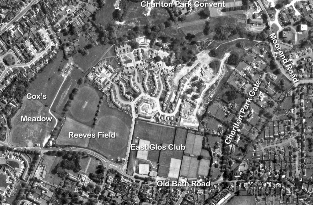
© Cotswold ImagesThe aerial photograph of Charlton Park was taken in 1982 - when King William Drive was partially built.
It is the upper of the front page's three 'layers of history', sitting almost exactly over the 1843 Estate Map.Today it is easier to use 'Google Earth' for aerial views like this.
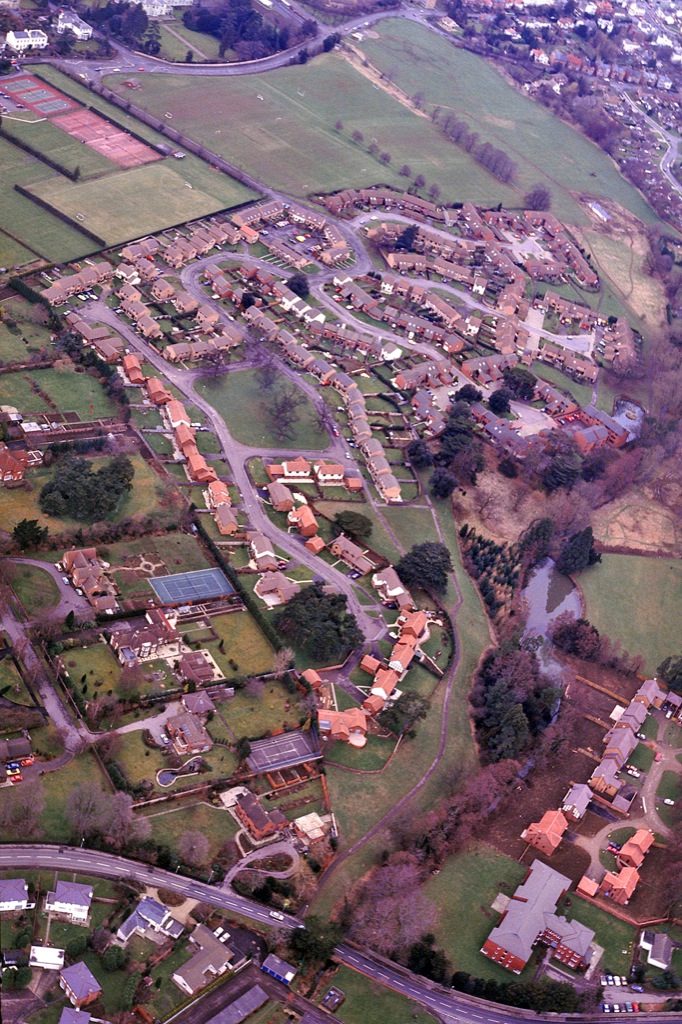 © Cotswold Images1987 and a well developed Charlton Park beds down for the future.
Bovis Homes slightly newer Moorend Glade is on the right
(Moorend Road, lower edge; Old Bath Road, upper edge)
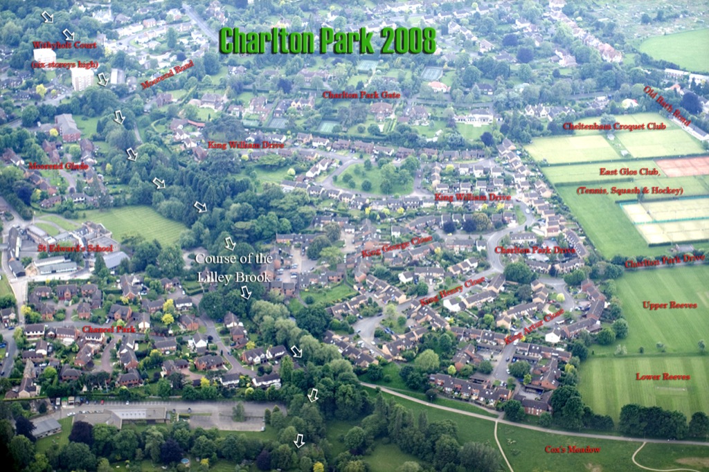 © Cotswold ImagesBy 2008 four well established housing developments cover most of the old Charlton Park (south-west view)
Page 17 of 61